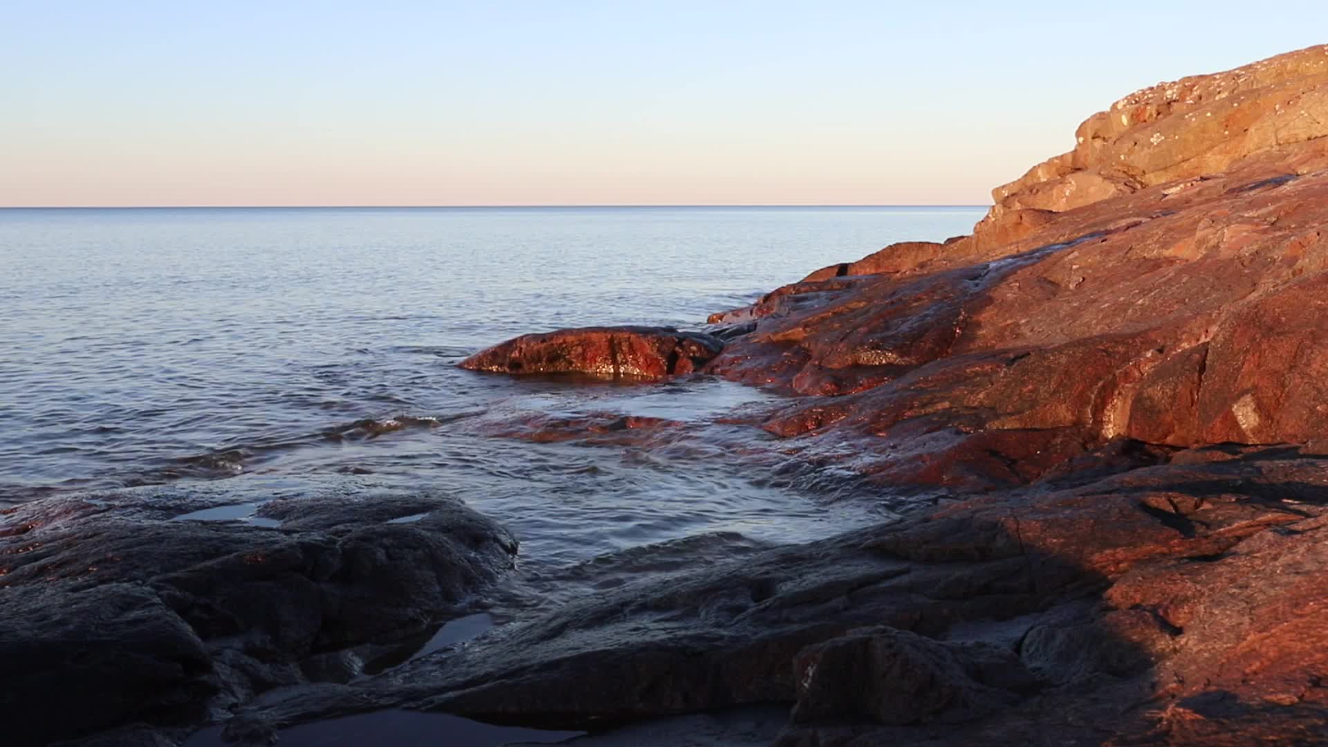
The shore
The Ojibwe People's Dictionary lists gichigami with two senses: a sea or a large lake, and Lake Superior. That word is the name of this site.
Longer forms are in use. A map of the Great Lakes in Anishinaabemowin, researched by Charles Lippert and published by the Decolonial Atlas, gives Anishinaabewi-gichigami, Anishinaabe's Sea, and Ojibwewi-gichigami. Those forms are not entries in the dictionary, so this page treats them as one map's usage. Dialects differ around the lake, and the lake has more than one name.
"Gitche Gumee" is the spelling in Longfellow's The Song of Hiawatha, 1855. Lake Superior Magazine traces that spelling to Henry Schoolcraft and notes that Frederic Baraga's 1878 dictionary gives Otchipwe-kitchi-gami. The magazine also points out that the final "i" sounds closer to the vowel in "it" than to a long "e."
The fishery
Adikameg is lake whitefish. Namegos is lake trout. Both spellings are from a Wisconsin Sea Grant vocabulary sheet that points readers to the Ojibwe People's Dictionary for pronunciation.
Michigan Sea Grant describes a sizeable Native American community fishing Lake Superior under treaty agreements, with a tribal commercial fleet that matters to the regional economy. That is the present tense.
The Great Lakes Indian Fish & Wildlife Commission, formed in 1984, serves eleven Ojibwe tribes in Minnesota, Wisconsin, and Michigan that reserved hunting, fishing, and gathering rights in the treaties of 1836, 1837, 1842, and 1854. The 1854 Treaty Authority manages the off-reservation hunting, fishing, and gathering rights of the Bois Forte Band and the Grand Portage Band in the territory ceded under the 1854 treaty. Both organizations publish their regulations, seasons, and maps.
The basin
Manoomin is wild rice.
The 1854 Treaty Authority keeps an inventory of rice waters in the 1854 ceded territory. It lists 532 lakes and river stretches, and since 1996 the surveys have covered 415 of them. Every water on that list is a lake, a part of a lake, or a stretch of river. The big lake is not a rice water.
The Authority describes manoomin as a sacred gift given to the Bands and as part of the Ojibwe migration story. That is their sentence, and this page leaves it with them. The harvest opens each season on August 15 and only when the rice is ripe; the Authority posts condition updates through the season.
Copper
Miskwaabik is copper. The dictionary breaks the word down: miskw-, red, and -aabikw, something mineral.
The National Park Service says that oral tradition and archaeological research put the start of copper mining on the Keweenaw Peninsula as early as 8,000 years ago, and on Isle Royale about 6,500 years ago. The Park Service also says that for thousands of years Lake Superior tribes exchanged that copper through trade networks that crossed much of North America, working it into hooks, knives, and beads.
The same Park Service page covers what came next. In the 1842 Treaty of La Pointe the Ojibwa ceded mineral rights while retaining the right to fish, hunt, and gather on the Keweenaw. Then the miners came, and the Park Service states plainly that the retained rights were violated.
The treaties
Three cessions cover the south and west shores of the lake. GLIFWC publishes the treaty texts and the case law in one document, and the clauses below are drawn from it.
- 1837 Treaty of St. Peters, 7 Stat. 536. Article 5 guarantees the privilege of hunting, fishing, and gathering wild rice on the ceded lands, rivers, and lakes, during the pleasure of the President.
- 1842 Treaty of La Pointe, 7 Stat. 591. Article II keeps the right of hunting and the usual privileges of occupancy on the ceded territory "until required to remove by the President." The Park Service ties this cession to copper.
- 1854 Treaty of La Pointe, 10 Stat. 1109. Article 11 keeps the right to hunt and fish in the ceded territory for those who live there. This is the treaty that established reservations in the homeland.
No boundaries are drawn on this page. GLIFWC keeps the maps.
In the fall of 1850 the United States forced thousands of Lake Superior Ojibwe to leave their homes in Wisconsin and gather at Sandy Lake, in Minnesota Territory, to collect an annual treaty payment. The Minnesota Historical Society's MNopedia records what happened: the money did not arrive, the rations the government provided were spoiled, and about 400 people died of starvation, disease, and exposure, many of them on the way back to Wisconsin. The plan had been approved by the Minnesota Territorial Assembly in October 1849 so that annuities owed under the 1837 and 1842 treaties would be paid inside the territory, where the money would flow to territorial traders.
The Lake Superior Ojibwe kept resisting removal with written petitions and sent a delegation to Washington in 1852. MNopedia dates the end of removal efforts to 1853, when a new administration replaced the territorial governor and the agent. In 1854 the Lake Superior Ojibwe signed a new treaty at La Pointe that promised permanent reservations and annual payments made on site, in the homeland. GLIFWC's summary is shorter: President Taylor's 1850 removal order had failed.
On how to read the rights clauses, GLIFWC is direct. When the treaties were negotiated, the Ojibwe insisted on reserving the rights to hunt, fish, and gather on the property they were ceding. The Commission's position is that the United States never granted those rights, and that the bands retained rights they had always had. The 1854 Treaty Authority uses the same verb: under the 1854 treaty the Bands retain the right to hunt, fish, and gather in the ceded territory. The 1983 decision in Lac Courte Oreilles v. Voigt led to GLIFWC's formal structure and membership.
The bands are named at the bottom of the lake, with links.
The wrecks
The Edmund Fitzgerald went down on November 10, 1975, with all 29 of her crew, about 17 miles north-northwest of Whitefish Point, Michigan. That is the account of the Great Lakes Shipwreck Historical Society, which has made three expeditions to the wreck and recovered the bell in 1995. A NOAA assessment puts the wreck at 530 feet. That is where it sits on the scale above, and that is all this page has to say about it.
The cold
The deepest water stays at 39°F, or 4°C, all year. Lake Superior Magazine reports that figure from the Large Lakes Observatory at the University of Minnesota Duluth.
The lake does not flush. Michigan Sea Grant puts the retention time at 191 years: the average drop of water travels the lake for that long before it leaves through the St. Marys River. A drop that enters this year, 2026, leaves around 2217.
Lake Superior Magazine, working from Minnesota Sea Grant data, puts the lake's volume at 3 quadrillion gallons, enough to cover North and South America under a foot of water. The comparison is theirs.
The bottom
The Minnesota shore of Lake Superior is within the territory ceded in the 1854 Treaty of La Pointe, where the Grand Portage, Bois Forte, and Fond du Lac Bands retain the right to hunt, fish, and gather. The Keweenaw Peninsula is within the 1842 cession, according to the National Park Service. For the rest of the Wisconsin and Michigan shore, GLIFWC's maps show which cession covers which stretch; this page does not redraw them. The eleven tribes that reserved rights in the 1836, 1837, 1842, and 1854 treaties are the members of GLIFWC. The Ontario shore is under a treaty with the Crown, and this page does not yet describe it.
The bands, as GLIFWC and the Bureau of Indian Affairs list them:
- Grand Portage Band of Lake Superior Chippewa, Minnesota
- Fond du Lac Band of Lake Superior Chippewa, Minnesota
- Bois Forte Band of Chippewa, Minnesota
- Mille Lacs Band of Ojibwe, Minnesota
- Red Cliff Band of Lake Superior Chippewa Indians, Wisconsin
- Bad River Band of the Lake Superior Tribe of Chippewa Indians, Wisconsin
- Lac Courte Oreilles Band of Lake Superior Chippewa Indians, Wisconsin
- Lac du Flambeau Band of Lake Superior Chippewa Indians, Wisconsin
- St. Croix Chippewa Indians of Wisconsin
- Sokaogon Chippewa Community, Wisconsin
- Keweenaw Bay Indian Community, Michigan
- Lac Vieux Desert Band of Lake Superior Chippewa Indians, Michigan
- Bay Mills Indian Community, Michigan
Where a band's name is not a link, its own site has not yet been checked. Links are added one at a time, from each government's site, and not from anywhere else.
This page has not been reviewed by the communities it describes. If something here is wrong, or should not be here, write to corrections@gichigami.org and it will be fixed.
Sources, by depth
- The shore
- Ojibwe People's Dictionary, gichigami. Decolonial Atlas, The Great Lakes: An Ojibwe Perspective. Lake Superior Magazine, Why Is Lake Superior Called Gitche Gumee.
- The fishery
- Wisconsin Sea Grant, Fish-O-Pedia Ojibwemowin vocabulary. Michigan Sea Grant, Lake Superior fast facts. GLIFWC, About. 1854 Treaty Authority, home.
- The basin
- 1854 Treaty Authority, Wild rice survey and news. Ojibwe People's Dictionary, Onigamiinsing and Gichi-onigamiing.
- Copper
- Ojibwe People's Dictionary, miskwaabik. National Park Service, Indigenous Mining and Keweenaw Industrial Landscapes.
- The treaties
- GLIFWC, Fulfilling Ojibwe Treaty Promises, legal paper and compendium; About; The Commission; Treaties of 1836, 1837, 1842, 1854, and 1855. Colin Mustful, Sandy Lake Tragedy, MNopedia, Minnesota Historical Society.
- The wrecks
- Great Lakes Shipwreck Historical Society, Edmund Fitzgerald. NOAA Office of National Marine Sanctuaries, RULET assessment, Edmund Fitzgerald.
- The cold
- Lake Superior Magazine, Water Temps Arising and How Big is Lake Superior. Michigan Sea Grant, Lake Superior fast facts.
- The bottom
- US EPA, Geophysical Lake Superior: maximum depth 1,332 feet, measured at low water. Some sources give 1,333 feet. This page uses 1,332 throughout. Bureau of Indian Affairs, Tribes served by the Midwest Region.